
Land Surveying Drone Services in St Francisville, LA
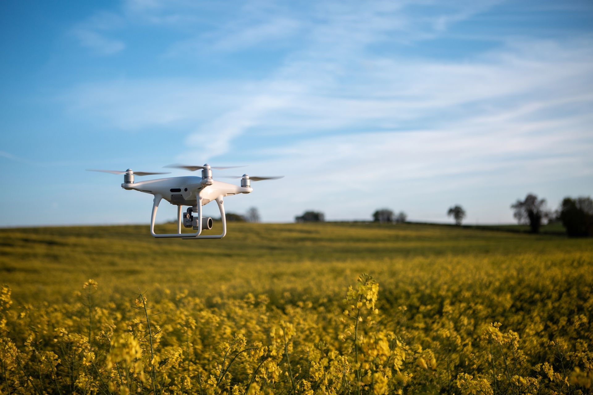
Sky Critter Drone Services LLC provides professional land surveying drone services in St Francisville, Louisiana aerial data collection
Using advanced drone technology, we capture high-resolution aerial imagery and mapping data that helps clients analyze land, plan projects, and monitor development with greater efficiency.
Traditional surveying methods can take significant time and resources, especially when working with large properties or difficult terrain.
Drone surveying provides a modern solution that allows large areas of land to be mapped quickly while delivering detailed aerial insights.
At Sky Critter Drone Services, we combine professional drone equipment, advanced flight planning, and precision aerial imaging to provide dependable surveying support for projects throughout St Francisville and surrounding areas.
What Are Land Surveying Drone Services?
Drone land surveying uses unmanned aerial vehicles equipped with high-resolution cameras and specialized software to capture aerial data across large areas of land.
These drones fly over a property and capture detailed images that can be used to create maps, analyze terrain, and document land conditions.
The aerial data collected by drones can help professionals better understand land features and site conditions before beginning development or construction.
Drone surveying is commonly used for:
- Land development planning
- Construction site analysis
- Agricultural land management
- Infrastructure projects
- Property documentation
- Environmental monitoring
- Real estate land marketing
Because drones can quickly capture aerial imagery from above, they provide a comprehensive view of the land that is difficult to achieve through traditional ground-based methods.
Benefits of Drone Surveying Technology
Drone surveying has become an essential tool for many industries because it offers several advantages over traditional surveying techniques.
Faster Data Collection
Drones can survey large areas of land in a fraction of the time required for traditional surveying methods. What might take days to measure manually can often be captured within hours using aerial drones.
Cost-Effective Land Mapping
Drone surveying reduces the need for large survey crews and expensive equipment, making it a more affordable option for many projects.
Access to Difficult Terrain
Some properties contain steep terrain, dense vegetation, wetlands, or other obstacles that make traditional surveying difficult. Drones can safely fly over these areas and collect aerial data without requiring ground access.
Detailed Aerial Insights
Drone imagery provides high-resolution visual data that helps engineers, developers, and landowners better understand the layout and features of a property.
Improved Project Planning
With clear aerial views and accurate data, developers and planners can make more informed decisions when designing and developing land.
Drone Mapping and Aerial Land Analysis
Sky Critter Drone Services LLC offers aerial mapping services in St Francisville, LA that provide valuable visual information about land and terrain.
Our drone mapping services help clients capture detailed aerial imagery that can be used to evaluate land features such as:
- Property layout and boundaries
- Vegetation coverage
- Water features and drainage areas
- Access roads and infrastructure
- Construction progress
- Land usage patterns
These aerial images provide a comprehensive perspective that supports planning, documentation, and land analysis.
Drone mapping is especially useful for developers and engineers who need to visualize the entire property before beginning a project.
Drone Surveying for Land Development
Land development projects require careful planning and a clear understanding of the property. Drone surveying provides aerial perspectives that help developers evaluate land conditions and prepare for development.
Sky Critter Drone Services supports land development projects by providing aerial imagery that assists with:
- Site evaluation
- Project planning
- Development visualization
- Infrastructure planning
- Property documentation
Developers can use drone imagery to analyze the overall layout of a property and identify key features such as slopes, natural obstacles, access points, and nearby infrastructure.
These insights help development teams create more efficient and informed project plans.
Agricultural Land Surveying with Drones
Drone surveying technology is also valuable for agricultural operations. Farmers and landowners can use aerial imagery to better understand land conditions and monitor crop areas.
Sky Critter Drone Services provides agricultural drone surveying services in St Francisville and surrounding areas, helping agricultural clients analyze land and manage farmland more effectively.
Drone aerial imagery can help identify:
- field boundaries
- irrigation patterns
- crop coverage
- drainage issues
- land usage patterns
These aerial insights help farmers make informed decisions about land management and crop planning.
Property Documentation and Land Evaluation
Drone surveying services are also useful for documenting land conditions and property features. Landowners and real estate professionals can use aerial imagery to create detailed visual records of properties.
Sky Critter Drone Services provides aerial documentation that can help with:
- property marketing
- land listings
- development proposals
- project planning
- property evaluation
Drone imagery allows landowners and investors to view the entire property from above, making it easier to understand the size, layout, and potential uses of the land.
This perspective is particularly valuable when marketing large properties, farmland, or undeveloped acreage.
Why Choose Sky Critter Drone Services LLC
Sky Critter Drone Services LLC is committed to delivering professional drone surveying services with accuracy, reliability, and exceptional customer service.
Professional Drone Equipment
We use advanced drone technology capable of capturing high-resolution aerial imagery across large properties.
Skilled Drone Operators
Our experienced drone pilots carefully plan each flight to ensure efficient data collection and optimal aerial coverage.
Reliable Project Support
We work closely with developers, engineers, contractors, and landowners to capture aerial imagery that supports their projects.
Safe and Legal Drone Operations
All drone flights are conducted in compliance with FAA regulations, ensuring safe and responsible aerial operations.
Local Experience
As a local drone service provider, we understand the landscapes and land development needs of St Francisville and West Feliciana Parish.
Our Drone Surveying Process
Sky Critter Drone Services follows a streamlined process to ensure efficient and reliable aerial data collection.
Consultation
We begin by discussing your project goals, property details, and the type of aerial data needed.
Flight Planning
Our team plans the drone flight path to ensure full coverage of the property while maintaining safe flight operations.
Aerial Data Collection
Using advanced drones, we capture high-resolution aerial imagery across the property.
Image Processing
The collected imagery is processed and reviewed to ensure clarity and accuracy.
Project Delivery
Clients receive aerial images and data that can be used for planning, documentation, and project evaluation.